Discover intelligent photogrammetry with Metashape
Process digital images and generate 3D spatial data. Fast and highly accurate.
Agisoft Metashape is an independent software solution designed to execute photogrammetric processing on digital images, producing 3D spatial data suitable for applications in GIS, cultural heritage documentation, visual effects production, and indirect measurements of objects across diverse scales.
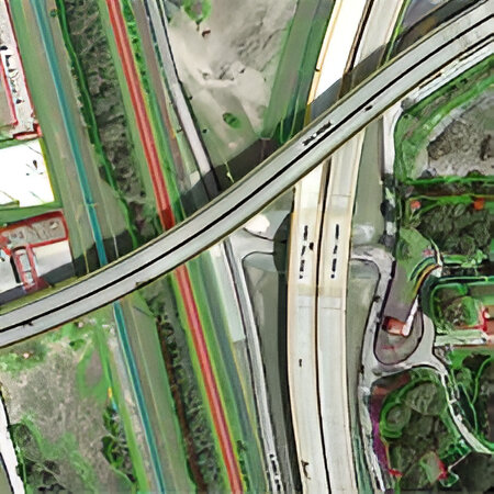
Survey & Mapping
Agisoft Metashape Professional is a great tool for processing aerial photographs and generating high resolution orthomosaics and dense point clouds, as well as very detailed Digital Surface Models (DSM) and Digital Terrain Models (DTM) which can be exported to various Cad formats.
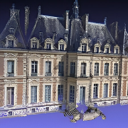
Architectural Conservation
Agisoft Metashape Professional is software of choice for modeling the facade and interior of the historic buildings.
It yields extremely dense and precise 3D surface data with a limited number of photopraphs, captured with standard digital photography equipment. The output result is a textured 3D model that can be measured with precision.
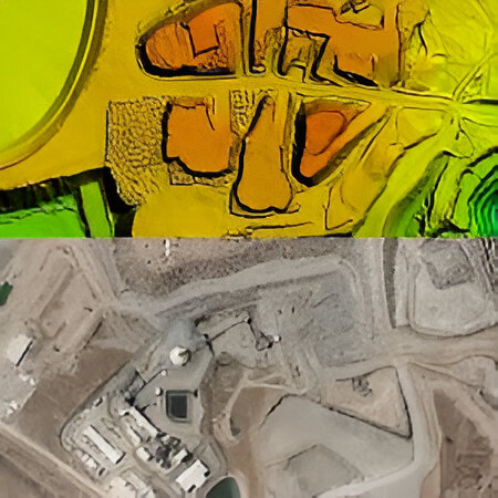
Mining
Highly accurate geometrical models created by PhotoScan allow accurate volume measurements of quarries and stock piles.
The high quality data also allow detail planning of the quarry sites. The output data can be exported as LAS laser scanner point cloud and industry standard Cad files for further analysis.
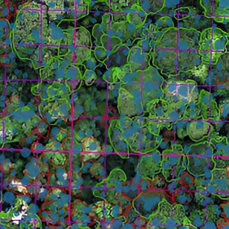
Forestry
UAV acquired aerial photographs can be processed in Agisoft Metashape provides accurate and timely forest inventory information at a local scale.This approach allows practical advantages including adaptive planning, high project customization, and rapid implementation, even under challenging weather conditions.
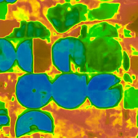
Farming
With support for processing multispectral and thermal imagery, Agisoft Metashape is used to process aerial photographs from various sources.
The processed data can be used for analyzing change in vegetation, soil analysis, forest fires etc. Multispectral imagery processing and NDVI index calculation support makes Agisoft Photoscan a valuable tool for precision agriculture projects.
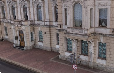
3D model: generation
Various scenes: archaeological sites, artifacts, buildings, interiors, people, etc.
Direct upload to various online resources and export to many popular formats.
Photorealistic textures: HDR and multifile support (incl. UDIM layout).


